NLCS for Drinking Water National Standard.
We’ll make it together!

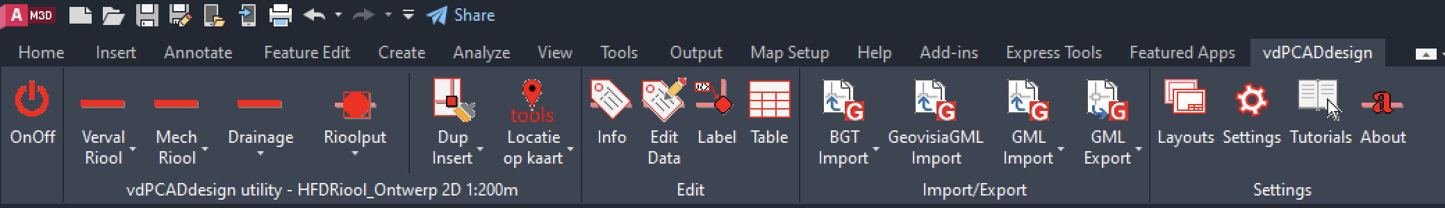
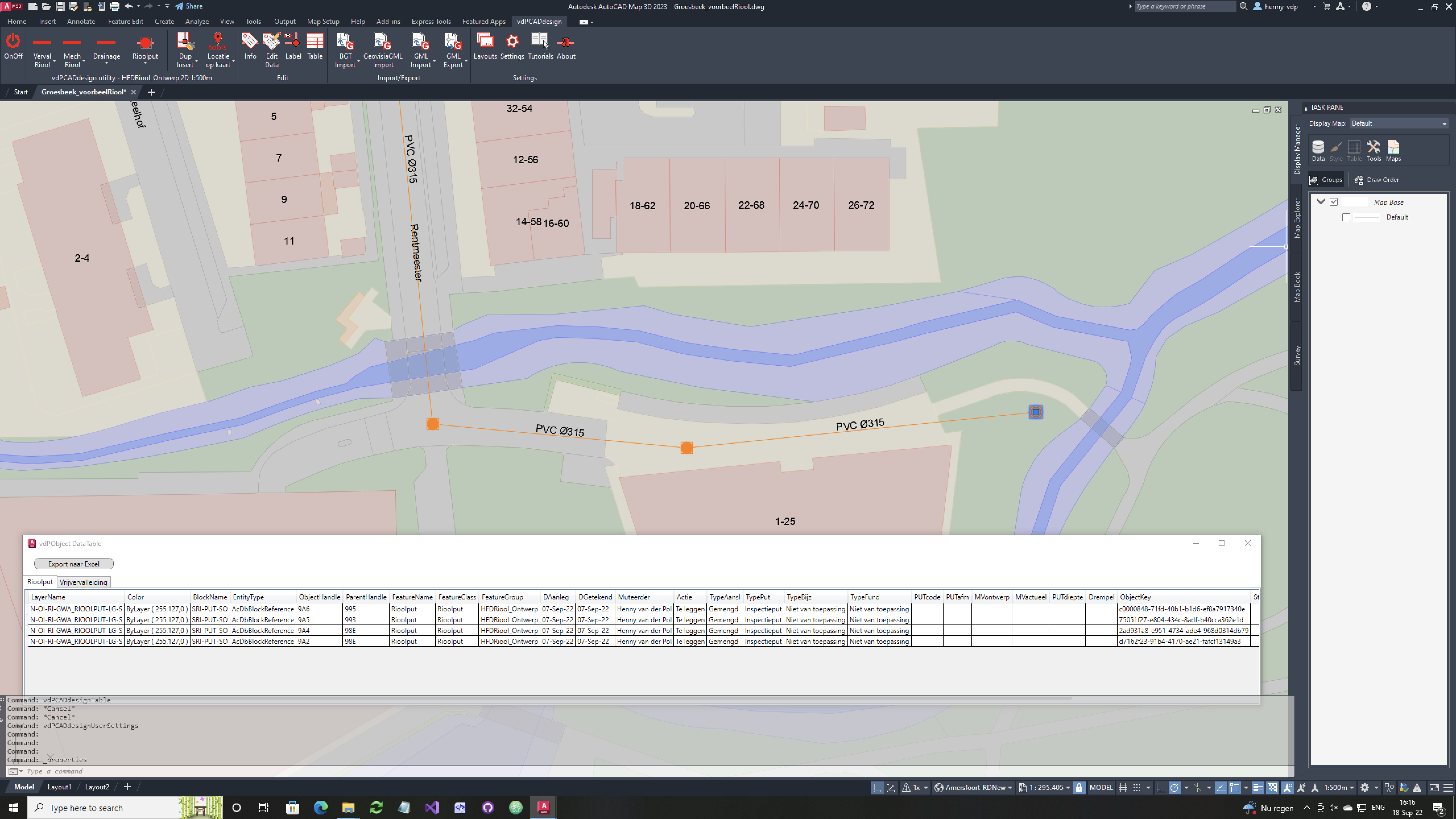
NLCS is the 2D drawing standard for the civil engineering construction sector. This open standard contains agreements for dealing with metadata, digital drawing, the appearance of the drawing and – especially – the coding system and layer structure of drawings.
For more information see the website of digiGO.

In the spring of 2025, the drinking water companies expressed their ambition to develop the NLCS for Drinking Water standard for design and revision drawings with the sector.

With the aim of sharing asset data more clearly and efficiently with the various chain partners and safeguarding knowledge about this data.

We do this in collaboration with digiGO and their expert, supplier and maintenance committees for NLCS.

More information?
Ask the cadgis-consultant.

vdPClassify, vdPCADdesign & vdPGeo for AutoCAD 2025

AutoCAD 2025 has recently been released including the industry-specific toolset for GIS and mapping. Then it’s the time of year again to tune the applications to it.

This time it was a bit more complex than previous years. Previously, AutoCAD used the .NET Framework and it was a matter of installing a new Visual Studio environment, configuring a new version of the .NET Framework and adjusting references to the relevant AutoCAD DLLs.
As of AutoCAD 2025, Autodesk has switched from the .NET Framework 4.8 to .NET Core 8.0. And that has an impact in both the Visual Studio environment and the C# code.

Set up a VMware machine and update Windows
Download, install & register AutoCAD Map 2025
Download, install & register Visual Studio 2022
Adjust Visual Studio project settings with references to 2025
Convert Visual Studio from .NET Framework 4.8 to .NET Core 8.0
vdPClassify2025 for AutoCAD and AutoCAD Map available
vdPCADdesign2025 for AutoCAD and AutoCAD Map available
vdPGeo2025 for AutoCAD and AutoCAD Map available

anniversary vdP

March 2024 marks 15 years since I was registered as an independent consultant with the Chamber of Commerce and 10 years since I transformed my sole proprietorship into a private limited liability company.

In June 2024, it was 45 years since I started my working life as a surveyor. 

vdPClassify, vdPCADdesign & vdPGeo for AutoCAD 2024

AutoCAD 2024 has recently been released including the industry-specific toolset for GIS and mapping. Then it’s the time of year again to tune the applications to it.

Set up a VMware machine and update Windows
Download, install & register AutoCAD Map 2024
Download, install & register Visual Studio 2022
Adjust Visual Studio project settings with references to 2024
vdPClassify2024 for AutoCAD and AutoCAD Map available
vdPCADdesign2024 for AutoCAD and AutoCAD Map available
vdPGeo2024 for AutoCAD and AutoCAD Map available

vdPCADdesign, implementation sewer-pipelines

A while ago an implementation of vdPCADdesign for entering revision drawings for sewer-house connections was delivered. Main sewer functionality has recently been added.

The starting point is to increase the main sewerage system in AutoCAD with which design/revision drawings can be made. The AutoCAD polylines and blocks are provided with additional information allowing an export to GML-files. These files form input for the BOR system in which, among other things. the sewage system of the entire municipality is managed.

vdPCADdesign has a simple user interface; an AutoCAD ribbon and some dialogs.

When adding new sewer features, the properties must first be entered/selected in accordance with the datamodel, some of which are mandatory. Then the user can – as usual with a polyline – create the geometry. When closing the polyline, the pipe is drawn, on the correct NLCS-layer, with color and linetype. The Xdata-information is linked to it and a label is created. These labels “stick” to the pipes and when the location of the pipe is adjusted with regular AutoCAD functionality; grip edit, insert vertex etc. the labels are also adjusted.

There is a function to get an overview in table format of the different features. Similar to the AutoCAD Map datatable. It is also possible to export this table to Excel.

vdPCADdesign is a C#.NET utility and available for various AutoCAD-versions.

More information?
Ask the cadgis-consultant.